|
Moderated by NW Okie! |
Volume 13 , Issue 122011Weekly eZine: (366 subscribers)Subscribe | Unsubscribe Using Desktop... |

Ireland, Ordnance Survey (1824-1846)
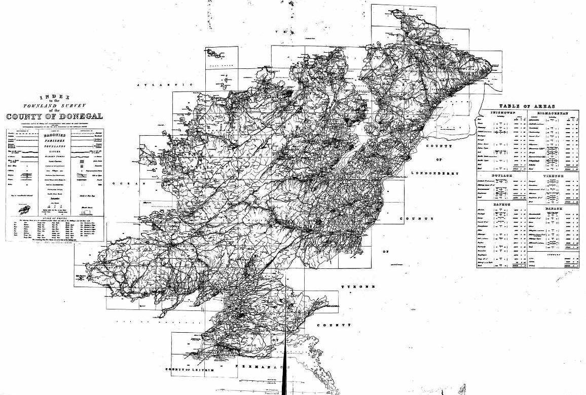
Also . . . While I was searching for some Irish ancestors, I found this great Ireland Ordnance Survey map dated between 1824-1846.
Source Information - Ancestry.com. Ireland, Ordnance Survey, 1824 - 1846 [database on-line]. Provo, UT, USA: Ancestry.com Operations, Inc., 2011.
Original data:
Ordnance Survey Office, Phoenix Park (Dublin) under the direction of Lt. Larcom, R.E., by Sergeant West of the Royal Sappers and Miners. Ordnance Survey of Ireland, 1834-1845. Dublin, Ireland: For Her Majesty's Government by Hodges and Smith.
About Ireland, Ordnance Survey, 1824 - 1846
The detailed maps of Ireland that make up this database took 20 years to complete and offer an unparalleled look at 19th-century Ireland around the time of the Great Famine.
The English Parliament ordered Major Thomas Colby to Ireland in 1824 to undertake a survey of the country. His teams of surveyors would produce detailed maps on a six-inch = one-mile scale that would be used to determine land valuations for tax purposes. The maps were finally published in 1846. They cover almost the entire country and include details of the smallest civil division of the time: the townland.
This collection can be used in conjunction with several other databases on Ancestry.com, such as Ireland, Index to Griffith's Valuation, 1848-1864. Researchers who find ancestors in other Irish databases can often locate where they lived on the ordnance survey maps.
Map sheets 108-125 are missing from the collection. These sheets cover approximately 10 percent of County Galway, mainly in the south of the county.
| View or Add Comments (0 Comments)
| Receive
updates ( subscribers) |
Unsubscribe
| © . Linda Mcgill Wagner - began © 1999 Contact Me | |